0 kmThe house is in the village · 4 km from Cany-Barville, 6 from the seafrom L'Alcôve de Vittefleur
Nearby · 01
The village the house is in, at the bottom of the Durdent valley
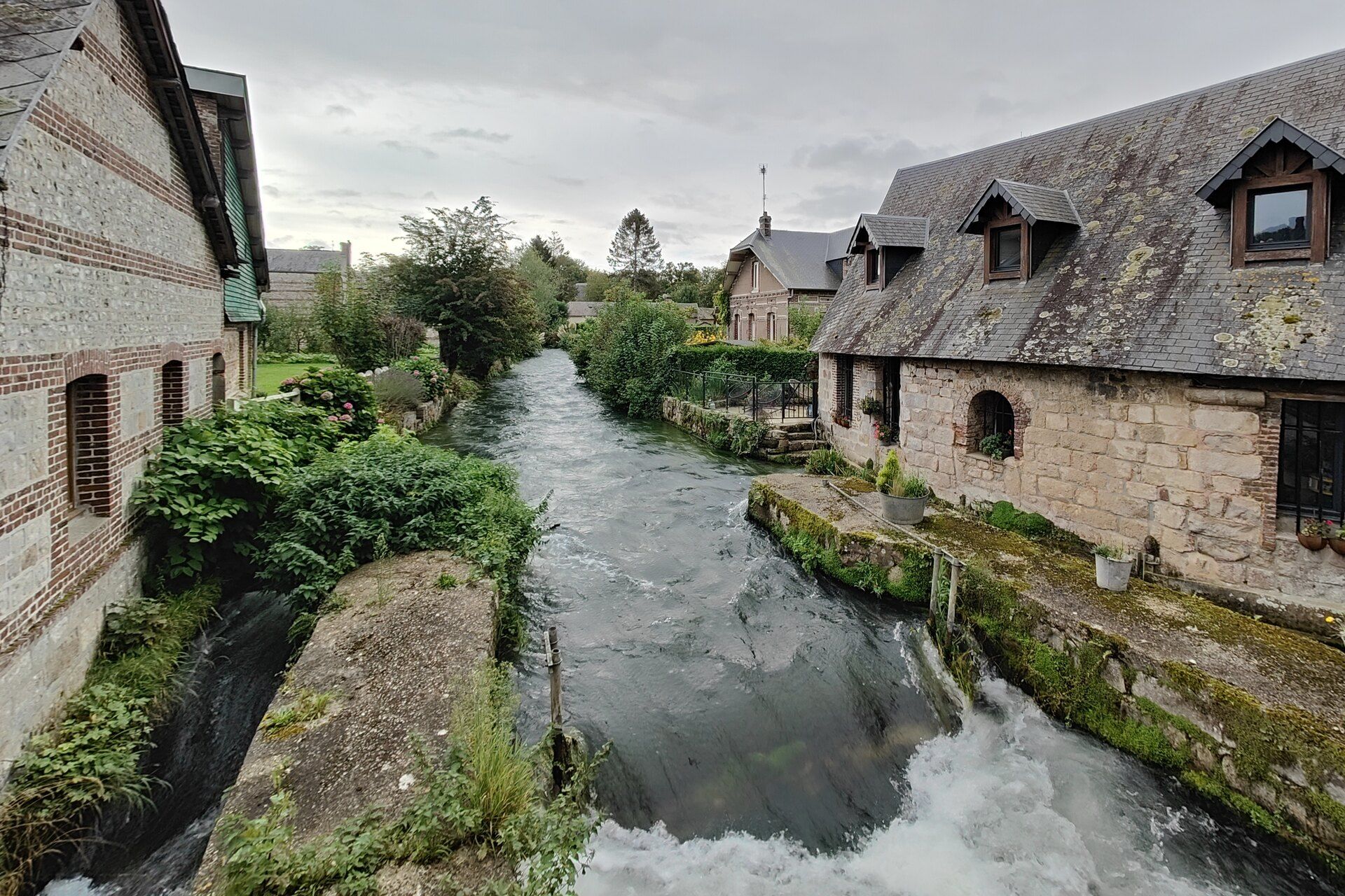
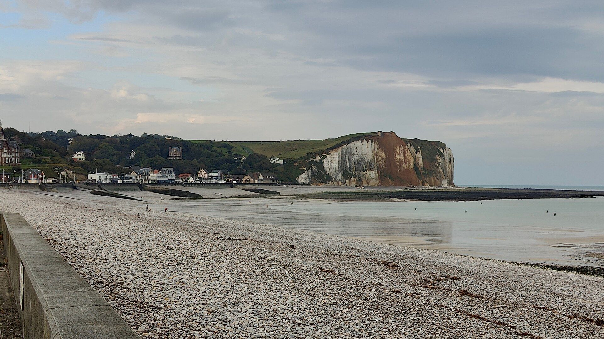
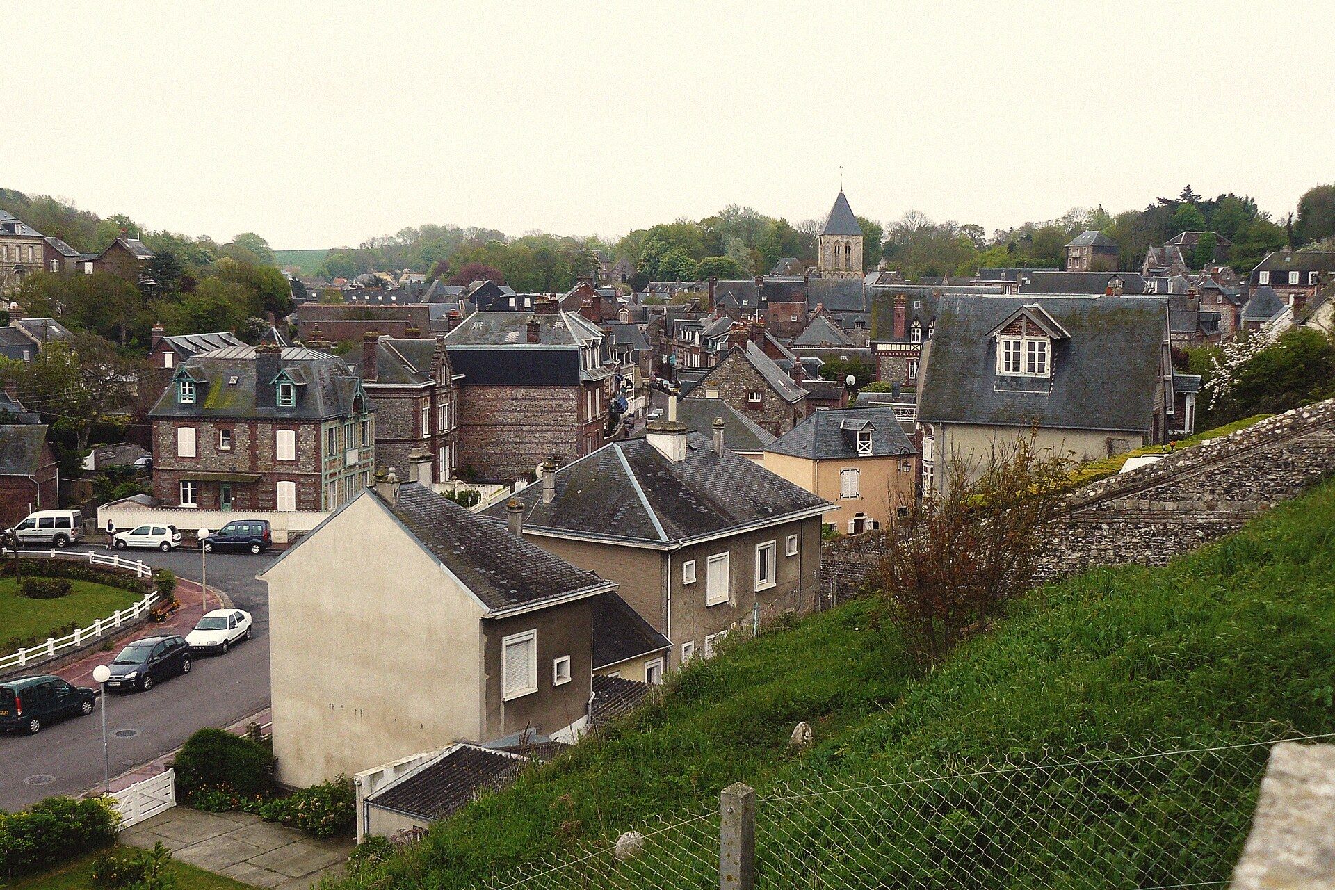
Six hundred and forty-two inhabitants, eight square kilometres, and a river running straight through the village. At the entrance the sign is written twice: Vittefleur, then Vit'Fleu — the name in Norman. The village stretches along the bottom of the Durdent valley, four kilometres from Cany-Barville and six from the sea: far enough out to hear nothing in the morning but running water and the bell of Saint-Martin, close enough to be on the pebbles before ten. This is where the house is — and it is also a possible stopover on the GR21.
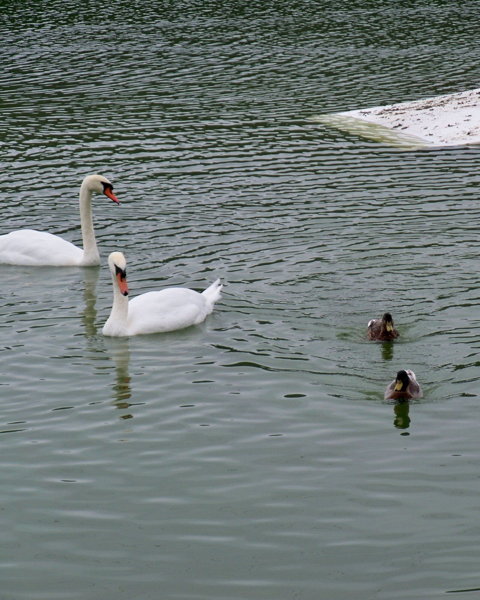
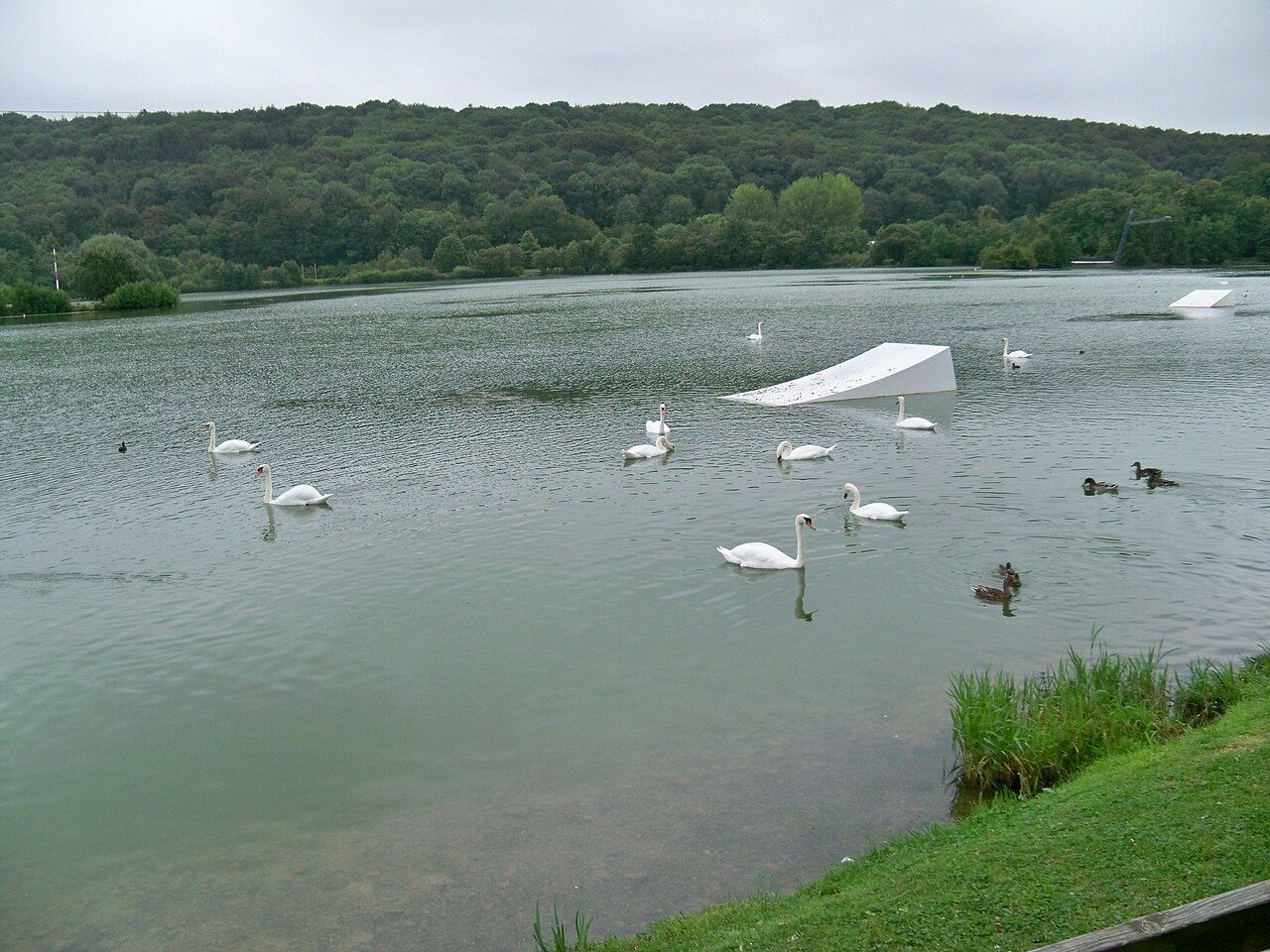
Maps usually file the lake under Cany-Barville. The post, however, is delivered to 4 rue du Dessous des Bois, 76450 Vittefleur — the address of the leisure park. The water in fact straddles three communes: Vittefleur, Clasville and Cany-Barville. And there is nothing natural about it: it is a former ballast pit, dug to supply stone for the Le Havre–Dieppe railway line. Lifeguarded swimming in summer, cable wakeboarding, pedal boats; the rest of the year the loop around the lake belongs to the swans.
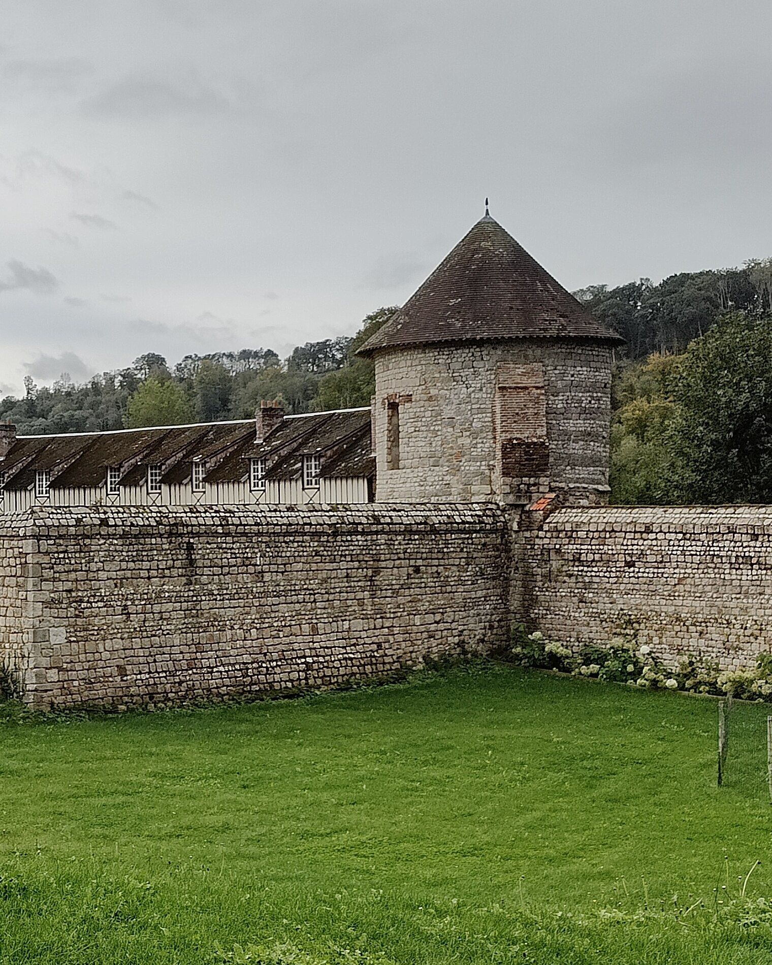
Dated 1630 — it is also known as the manoir des Guerrots. Two side pavilions were added later to frame the main range, half stone, half half-timbering. But what you see first from the road is the enclosure: a quadrangle of pale walls, a round tile-capped tower at the corner, and wide ditches now partly filled in, still crossed by a small stone bridge. It is private property: you look at it from the lane, not from within.
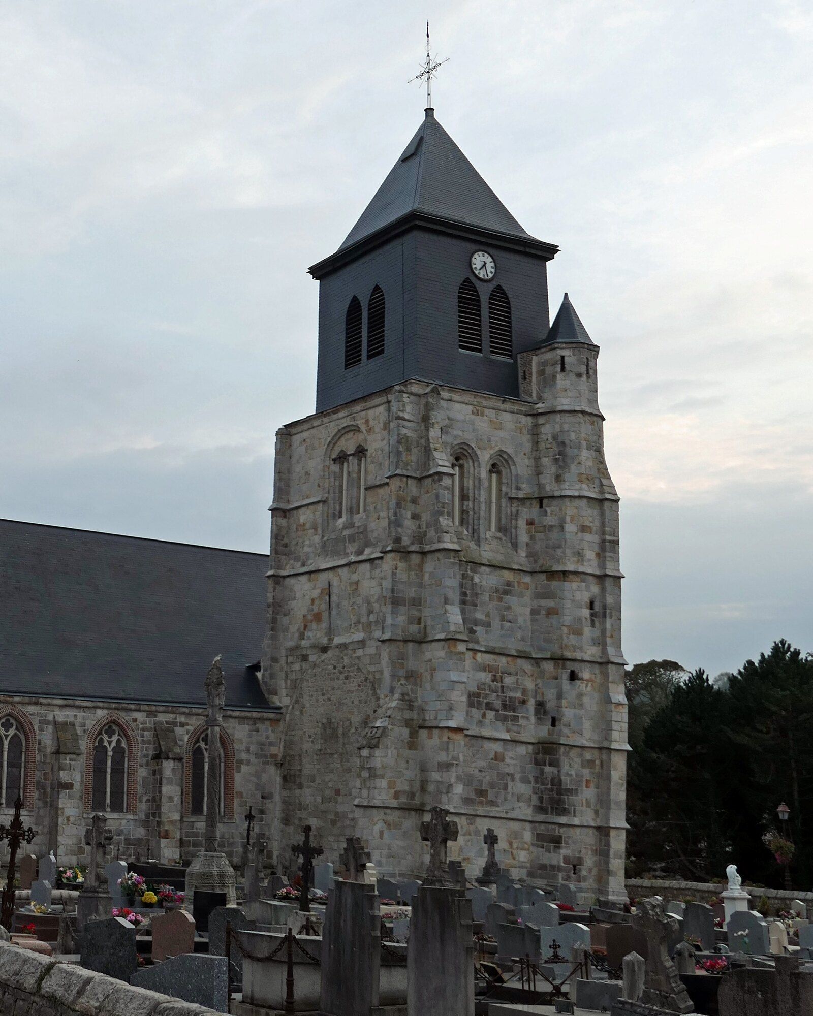
In 988 Richard I of Normandy granted Fécamp Abbey the meadows, vines, woods, churches and mills of Vittefleur — the first time the village appears in writing. The church long had two naves, with the bell tower planted between them; a chapel was added at the end of the 17th century. It faces the square, opposite the town hall in its chequerboard of brick and flint, and the graveyard comes right up to the foot of the tower.
Practical
Getting there — what to know
The village takes twenty minutes to cross on foot, from the square by the town hall to the bridge over the Durdent. Early morning is best, while the mist still sits at the bottom of the valley — and if you have the day ahead of you, the valley can be walked down to the sea, an hour and a quarter along the river.
From Paris
≈ 2 hr 15 via the A13 then A29, Yvetot exit
From Rouen or Le Havre
≈ 1 hr drive either way
By train
Yvetot station (Paris Saint-Lazare line, ≈ 1 hr 35), then a 20-minute drive
By bike
The Véloroute du Lin greenway runs through Cany-Barville, 4 km away